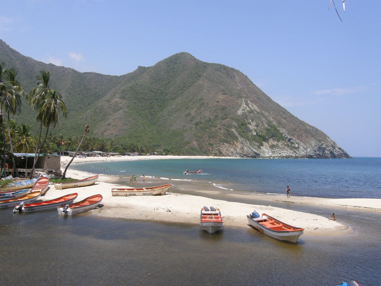
Crossed by the Chuao River, the parish of Chuao is located in a beautiful deep valley in the river basin, between the towns of Choroní and Maya. The town is the heart of the 160 square kilometers (61.8 sq mi²) of land area of the parish, which is located 6 kilometers from the Caribbean Sea, accessible by concrete road, where the river also flows into it. There are no roads leading to Chuao, the only two routes are by sea from Puerto Colombia in Choroní to the west or through the mountains surrounding the Turmero peak to Pico El Cenizo or Topo El Guayabo in Henri Pittier National Park along the famous cocoa route, which is made up of old mule trails that remain passable on foot and lead to Guayabita and Trincherón, suburbs of Turmero via El Paraíso, Sabaneta and Cepe.
References and credits
![]() Chuao. (2024, 17 de diciembre). Wikipedia, La enciclopedia libre. Fecha de consulta: 06:21, diciembre 17, 2024 desde https://es.wikipedia.org/w/index.php?title=Chuao&oldid=164173304.
Chuao. (2024, 17 de diciembre). Wikipedia, La enciclopedia libre. Fecha de consulta: 06:21, diciembre 17, 2024 desde https://es.wikipedia.org/w/index.php?title=Chuao&oldid=164173304.