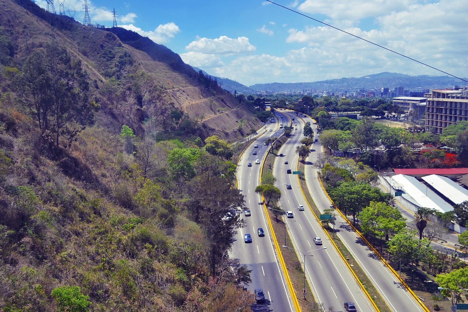
Boyacá Avenue, also known as Cota Mil (due to its elevation of 1000 meters above sea level) is a road that runs through part of the city of Caracas (from downtown to the east) in a west-east direction. It is located north of the city of Caracas at the foot of El Ávila National Park. It starts at the Metropolitan Distributor located at the beginning of the city (east) and ends at the end of Baralt Avenue at the Baralt Distributor in the center of the city, with an approximate length of 13 km.
Highway distributors

During the government of Luis Herrera Campins, the avenue was closed so that the inhabitants of the Metropolitan area could take Sunday walks, practice sports and entertain themselves in general. The closing of this important avenue on Sundays is from 6 a.m. to 1 p.m. The Cota Mil provides visitors to Caracas with a space for training, sports, leisure and recreation.