The Ávila National Park, officially known as Waraira Repano National Park for its indigenous Cariban name, protects part of the Cordillera de la Costa Central mountain range, in the coastal region of central-northern Venezuela. The area’s highest elevation is Pico Naiguatá, at 2,765 meters (9,072 ft) above sea level.
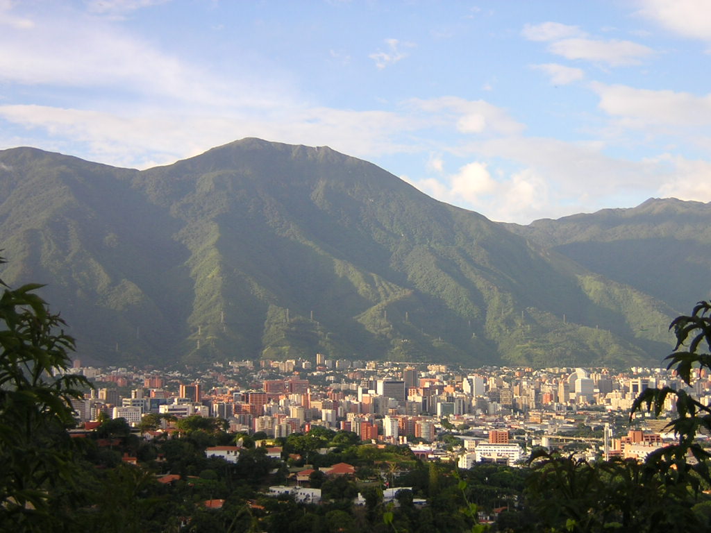
El Ávila is known as “el pulmón de la ciudad”, the lungs of the city, since it serves many different functions for residents of Caracas, the most basic of these being navigation: the peak of El Ávila marks the north of the city. It is home of activities like running, biking, rock climbing, camping, and zip-lining.
El Ávila National Park is located along the central stretch of the Cordillera de la Costa, at 10° 32′ latitude north and between 66° 12′ and 67° 01′ longitude west. It covers the mountainous regions between the Caribbean Sea and the valleys of Caracas, Guatire, Guarenas and Barlovento. The park contains part of the following states: La Guaira (northern slope), Capital District (southern and western slope) and Miranda (eastern slope).