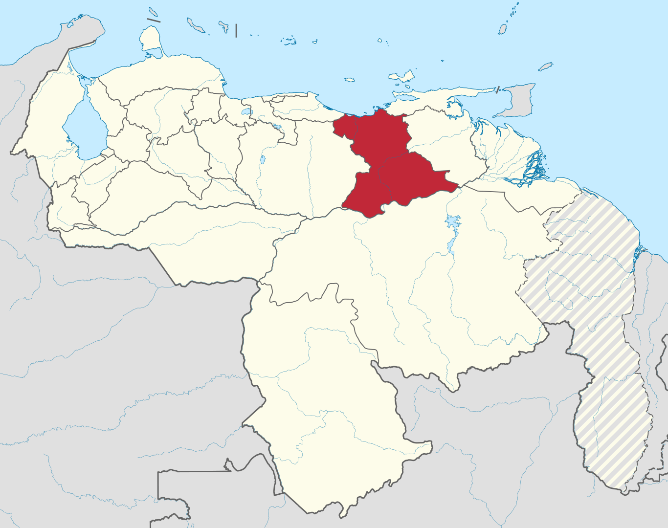
Anzoátegui
Anzoátegui is one of the twenty-three states that, together with the Capital District and the Federal Dependencies, make up Venezuela. Its capital and most populated city is Barcelona. It is located in the northeastern region of the country, bordered to the north by the Caribbean Sea (Atlantic Ocean), to the northeast by Sucre, to the east by Monagas, to the south by the Orinoco River, which separates it from Bolívar, to the west by Guárico and to the northwest by Miranda. With 43 300 km² it is the sixth largest state (behind Bolívar, Amazonas, Apure, Guárico and Zulia) and 1 890 847 inhabitants, being (according to Venezuela’s INE) the seventh most populated in the nation, behind the states of Zulia, Miranda, Carabobo, Distrito Capital, Lara and Aragua.