
City
San Fernando de Apure
San Fernando de Apure, founded as Villa de San Fernando del Paso Real de Apure (also referred to only as San Fernando and even called
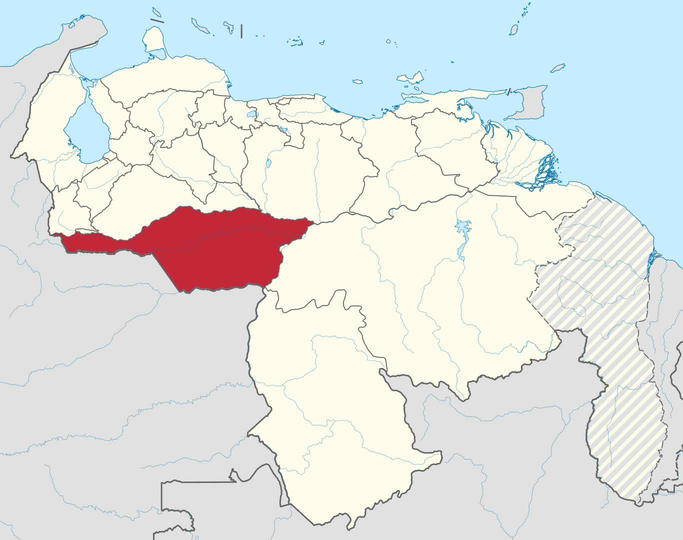
Apure is one of the twenty-three states that, together with the Capital District and the Federal Dependencies, form the Bolivarian Republic of Venezuela. Its capital is San Fernando de Apure. It is located in the southwest of the country, in the region of Los Llanos, bordering Táchira, Barinas and Guárico to the north, Bolívar to the east, Amazonas to the southeast and Colombia to the south. With 76,500 km² it is the third largest state -behind Bolívar and Amazonas-, with 679,169 inhabitants in 2024, according to estimates and projections of the Venezuelan INE. It is the fifth least populated, ahead of La Guaira, Cojedes, Delta Amacuro and Amazonas. And with 7.88 inhabitants/km², it is the third least densely populated, ahead of Delta Amacuro and Amazonas. Its relief is almost completely flat, with extensive plains that go from the confluence of the rivers Apure, Arauca and Capanaparo with the Orinoco, to the foothills of the Andes. With few terrain features, altitude oscillations fluctuate between 40 and 200 meters above sea level.
San Fernando de Apure, founded as Villa de San Fernando del Paso Real de Apure (also referred to only as San Fernando and even called