Estado: Aragua

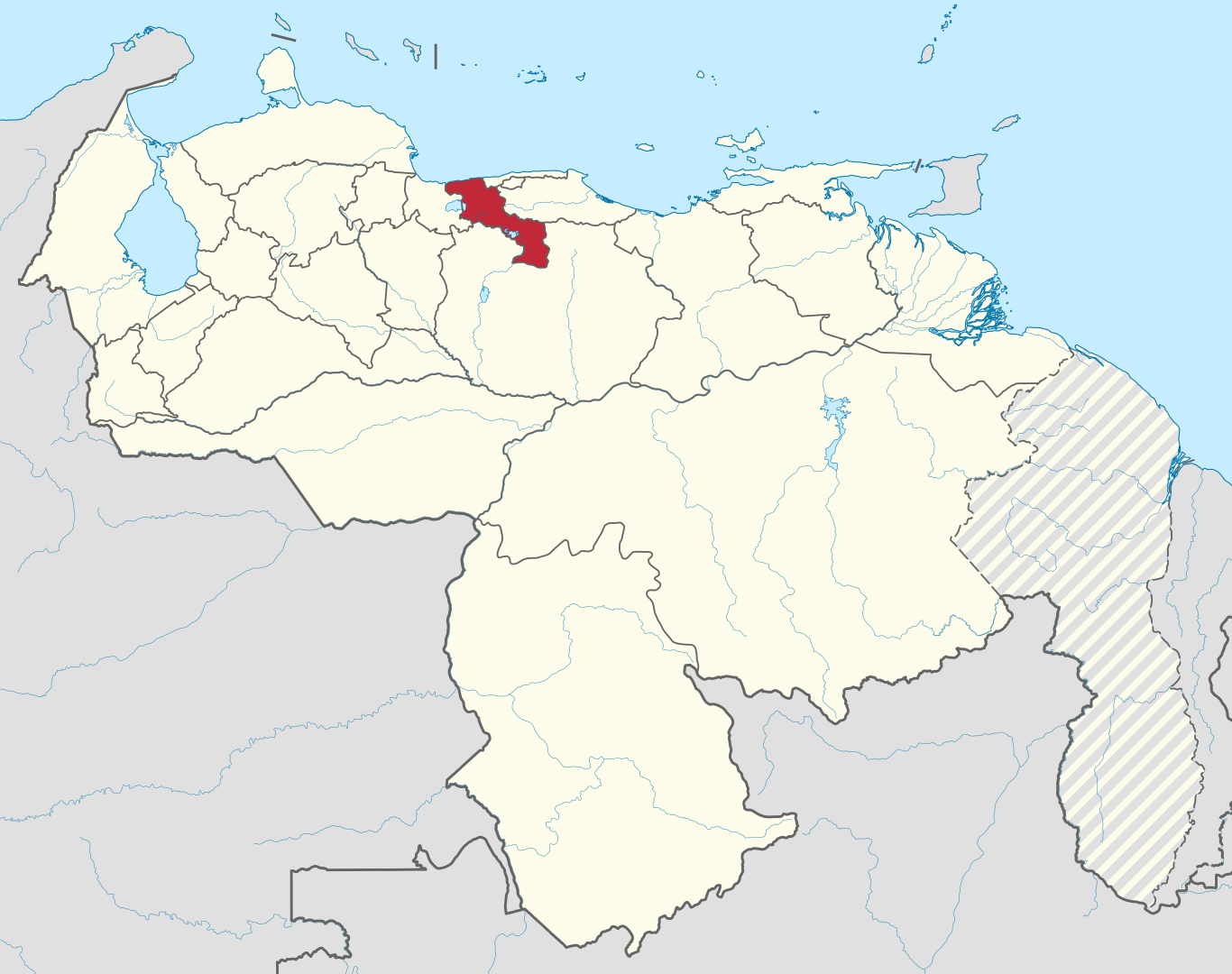
Mapa de Aragua

Aragua

Aragua is one of the twenty-three states that, together with the Capital District and the Federal Dependencies, form the Bolivarian Republic of Venezuela. Its capital is Maracay. It is located in the center-north of the country, in the Central region. It is bordered to the north by the Caribbean Sea, to the east by the state of Miranda, to the south by Guárico and to the west by Carabobo. According to INE projections for the year 2023, it has 2,068,820 inhabitants, making it the seventh most populated state.

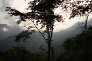
Selva húmeda, Parque Nacional Henri Pittier
Mountain

Henri Pittier National Park

Henri Pittier National Park is Venezuela’s oldest national park, originally created in 1937 with the name Rancho Grande by decree of President Eleazar López Contreras. The park was renamed in 1953 after Henri Pittier, the famous Swiss geographer, botanist and ethnologist.
Read More »
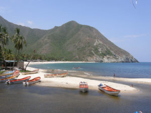
Playa de Chuao
Beach

Chuao Bay

Crossed by the Chuao River, the parish of Chuao is located in a beautiful deep valley in the river basin, between the towns of Choroní and Maya. The town is the heart of the 160 square kilometers (61.8 sq mi²) of land area of the parish, which is located 6 kilometers from the Caribbean Sea, accessible by concrete road, where the river also flows into it.

Read More »