Carabobo
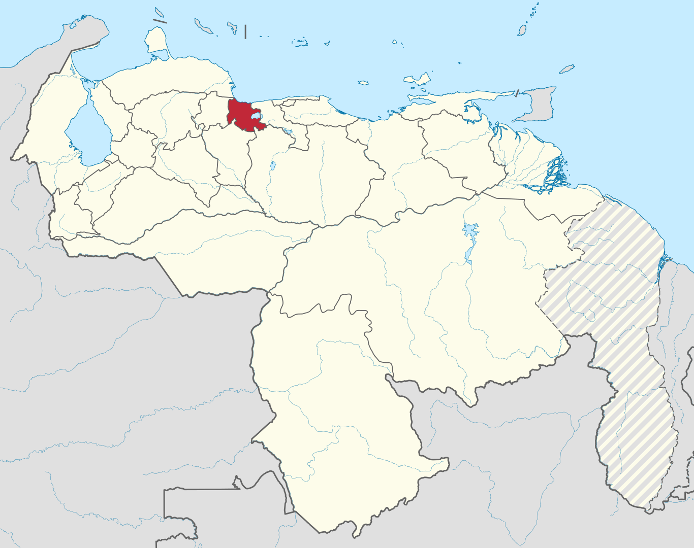
Carabobo is one of the twenty-three states that, together with the Capital District and the Federal Dependencies, make up the Bolivarian Republic of Venezuela. Its capital is Valencia. It is located in the center-north of the country, in the Central region. It is bordered to the north by the Triste Gulf, to the east by Aragua, to the south by Guárico and Cojedes, and to the west by Yaracuy. With 4650 km², it is the third least extensive state – ahead of Estado La Guaira and Nueva Esparta, the least extensive. With 2 813 161 inhabitants in 2016, it is the third most populated – behind Zulia and Miranda – and with 713 inhab./km² (inhabitants per square kilometer), the most densely populated.