Estado: Distrito capital

Mapa de Distrito capital

Distrito capital

The Capital District (formerly called Federal District) is a federal entity, which together with the twenty-three states and the Federal Dependencies, form Venezuela. It is located in the area of the Coastal Mountain Range (north-central part of the country), in the Capital Region. It is part of the city of Caracas, which is also the capital of the republic. The National Public Powers have their seat in the Capital District. This entity has federal rank and the competence to organize this territory; it has a particular political organization. It has an area of 433 km² and contains the western part of the Metropolitan District of Caracas.

El Ávila, con Altamira y la Castellana en el primer plano
Mountain

El Ávila National Park

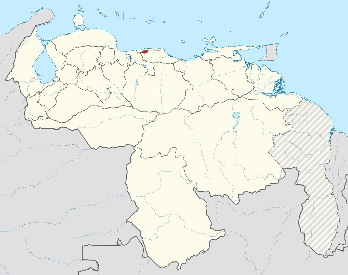
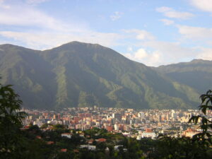
The Ávila National Park, officially known as Waraira Repano National Park for its indigenous Cariban name, protects part of the Cordillera de la Costa Central mountain range, in the coastal region of central-northern Venezuela. The area’s highest elevation is Pico Naiguatá, at 2,765 meters (9,072 ft) above sea level.

Read More »
Fotografía del teleférico del Ávila
Infrastructure

Ávila Cableway

The Teleférico de Caracas is a gondola lift that ascends El Ávila Mountain within El Ávila National Park, in Caracas.

Read More »
Fotografía de Plaza Venezuela al atardecer
Other

Plaza Venezuela

Plaza Venezuela is located in the Los Caobos Urbanization in the east of the Capital District and in the geographic center of the metropolitan district of Greater Caracas. This plaza was inaugurated in 1940 and is part of the El Recreo Parish of the Libertador Municipality

Read More »
Fotografía del Parque del Este
City

Parque del Este

The Generalísimo Francisco de Miranda Park, also known as Parque del Este, is a public recreational park, located in the Metropolitan Area of Caracas. It is one of the most important parks in the city with a total area of 64 hectares (equivalent to 0.64 km²).

Read More »