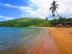
Beach
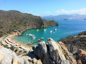
Mochima National Park
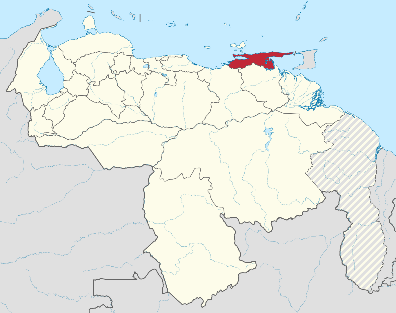
Mochima National Park is a national park located between the states of Sucre and Anzoátegui in eastern Venezuela and was declared as such on December 19, 1973. The closest cities are the metropolitan area of Barcelona (most frequently visited by air) or the city of Cumaná.