Mochima National Park is a national park located between the states of Sucre and Anzoátegui in eastern Venezuela and was declared as such on December 19, 1973. The closest cities are the metropolitan area of Barcelona or the city of Cumaná.
Mochima National Park is located between the cities of Puerto La Cruz, Guanta and Cumaná. It has an area of 94,935 hectares, 52% of which is marine.
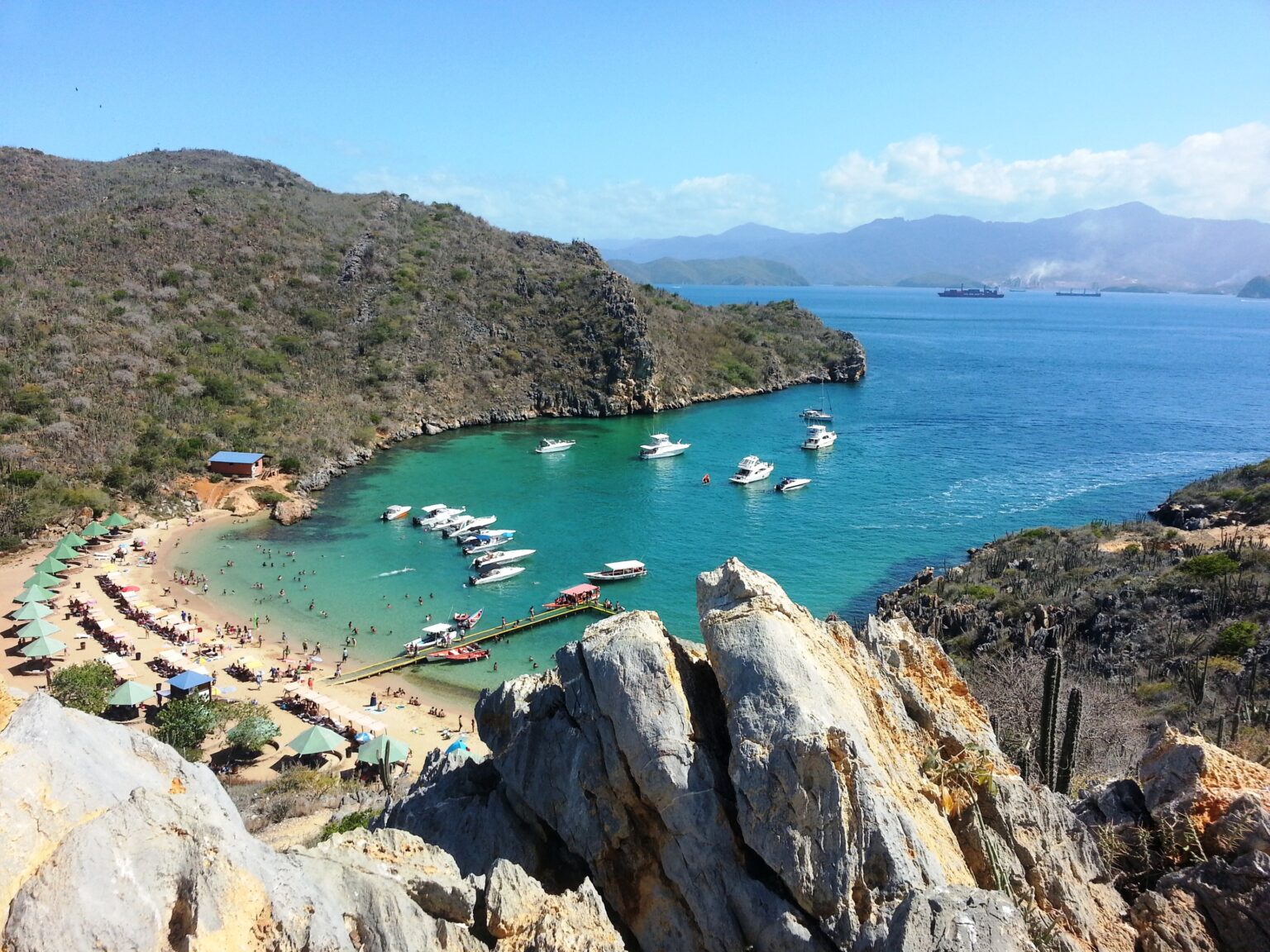
It is made up of a group of islands that contain bays, cliffs, gulfs, deep water coasts, white sand beaches, coral reefs, islands, islets and coves, as well as mountainous areas with lush vegetation.